Did you know? State parks are YOUR parks! All are warmly invited to enjoy these free, beautiful, natural public spaces along the Charles River.
Jump to:
- Herter Park
- Hell’s Half Acre
- Richard McKinnon Park
- Magazine Beach
- Riverbend Park
- Watertown Riverfront Park and Braille Trail
- Pathways
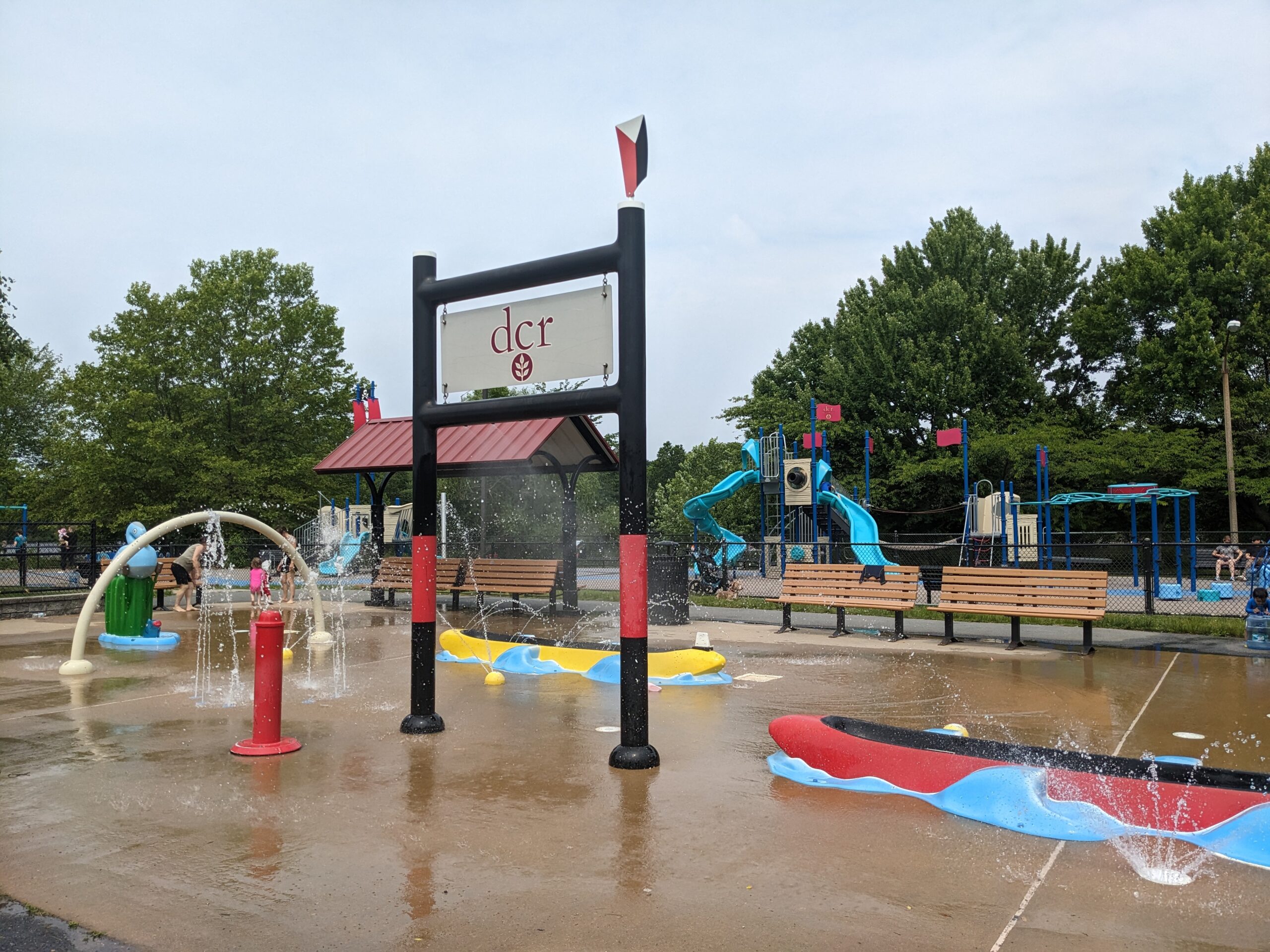
HERTER PARK
Christian A. Herter Park, located along the riverbank in Brighton, is the largest section of open park in the Charles River Basin. The park is named in honor of Christian Herter, a former Massachusetts governor, United States secretary of state, and champion of the environment. With a community garden, playground, spray fountain, large open lawn that draws volleyball and badminton players, and rental kiosk operated by Charles River Canoe & Kayak, this area of the parks has something for everyone. The Conservancy Volunteers program works actively with the Friends of Herter Park to restore the historic Herter Park Theatre for public programming.

HELL’S HALF ACRE
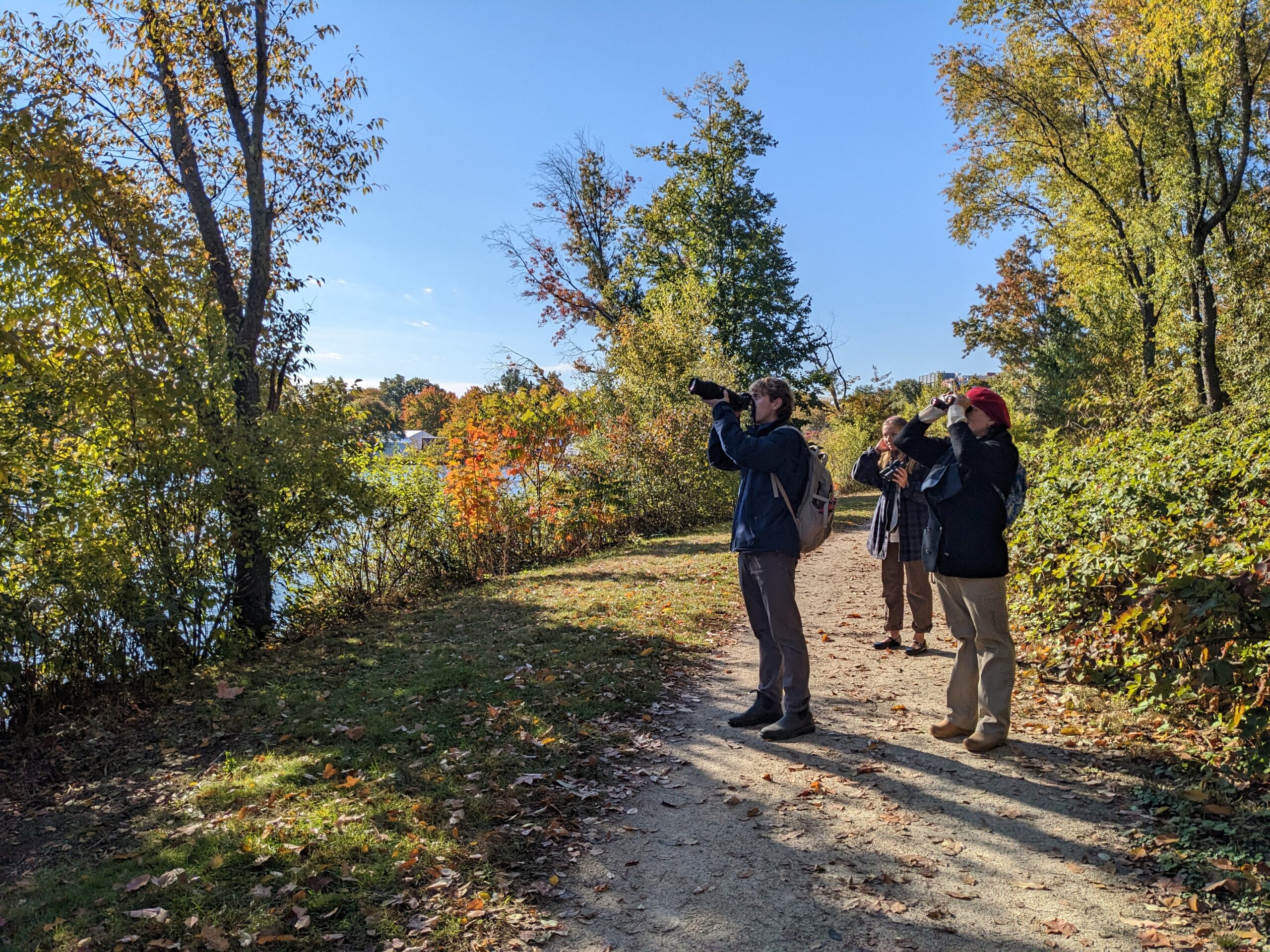
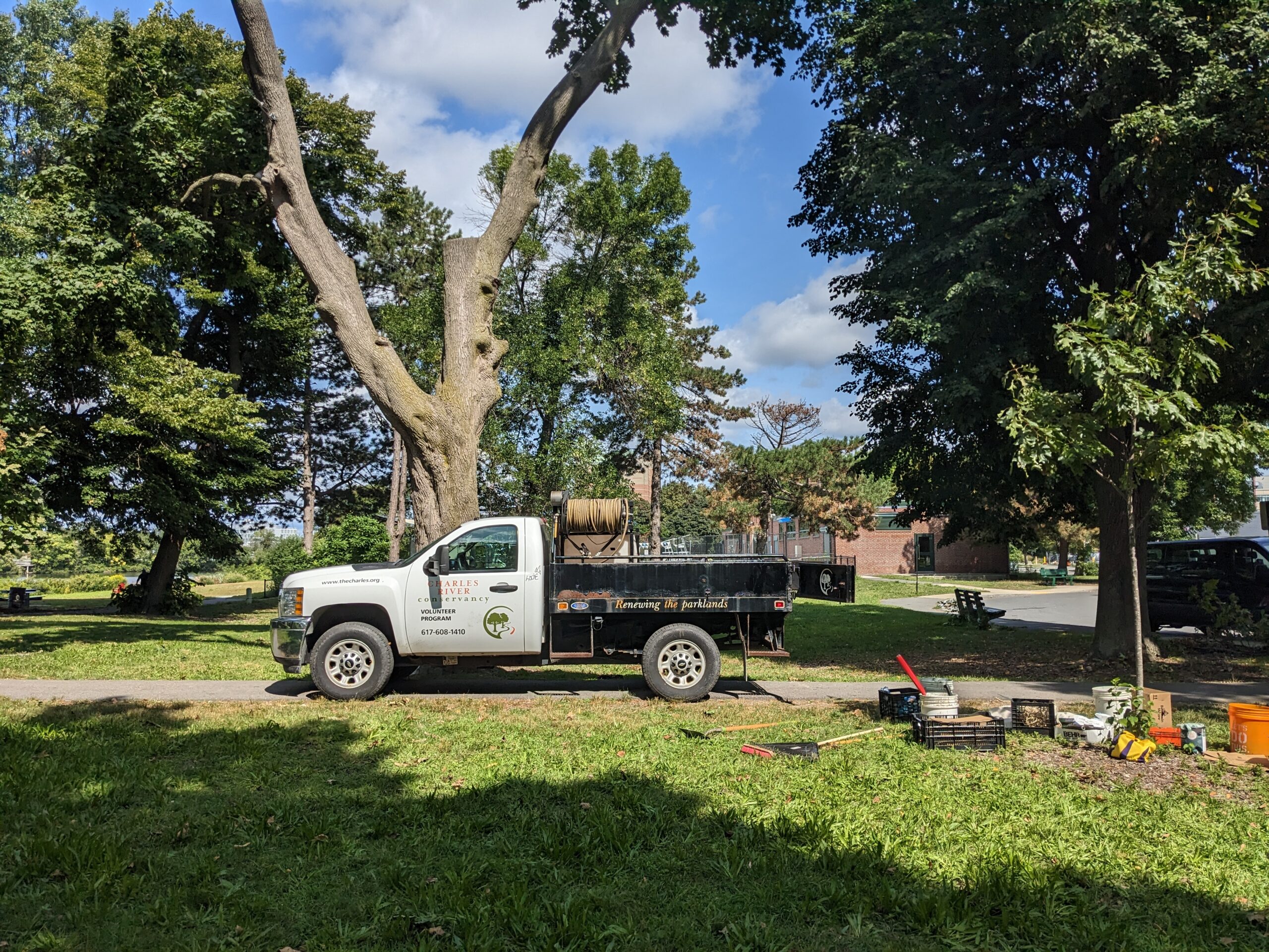
Hell’s Half Acre is a 7.5 acre undeveloped zone along Greenough Boulevard and has provided a refuge for Cambridge’s human and wildlife populations alike for decades. The space has become a hotspot for bird-watching and a nice stroll surrounded by a robust ecosystem. Learn more about how the Hell’s Half Acre restoration project offers an opportunity for ecological enhancement that could bolster wildlife habitat as well as public education. We put together a bird identification guide to enhance your next Hell’s Half Acre adventure.
Directions to Hell’s Half Acre
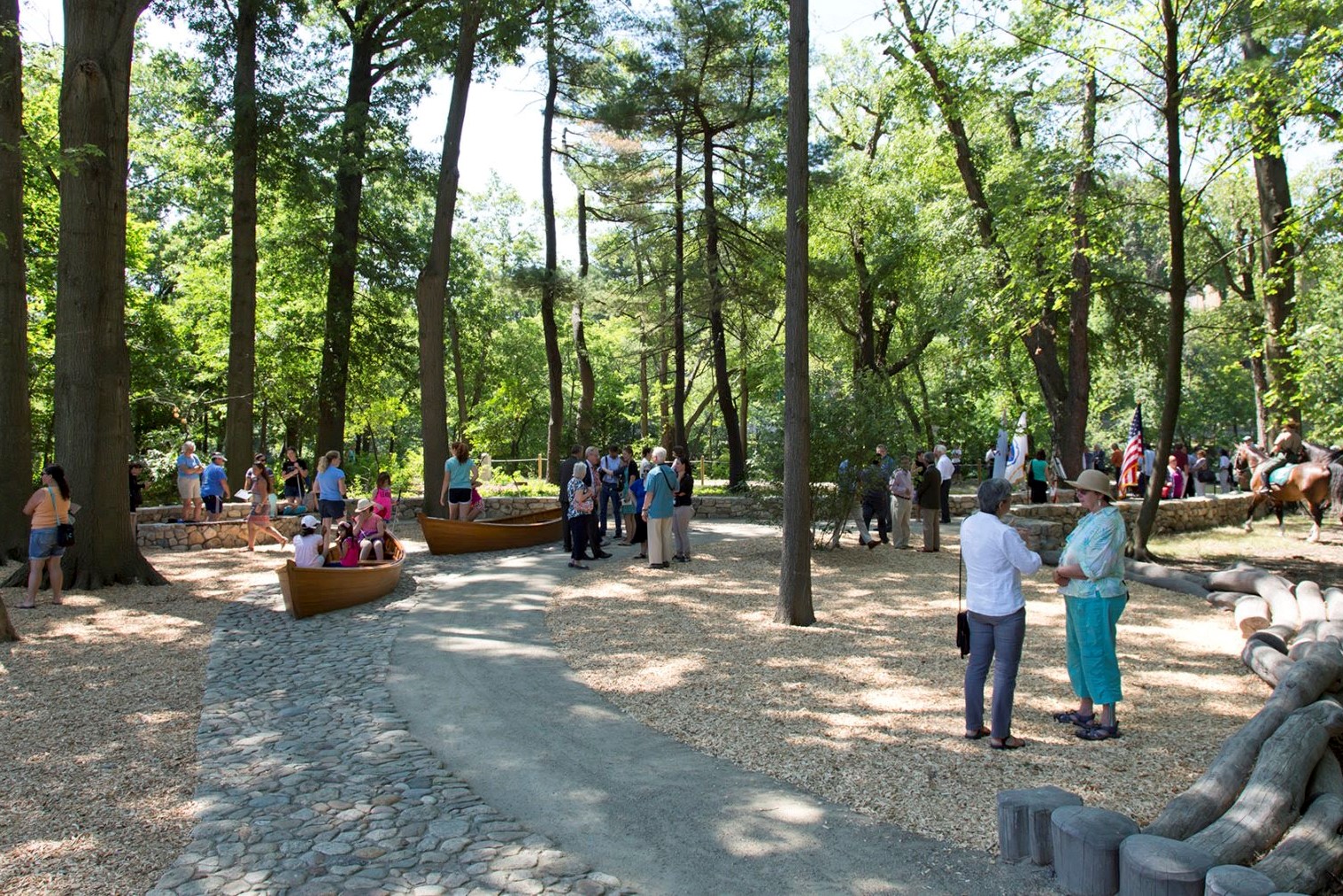
RICHARD MCKINNON PARK
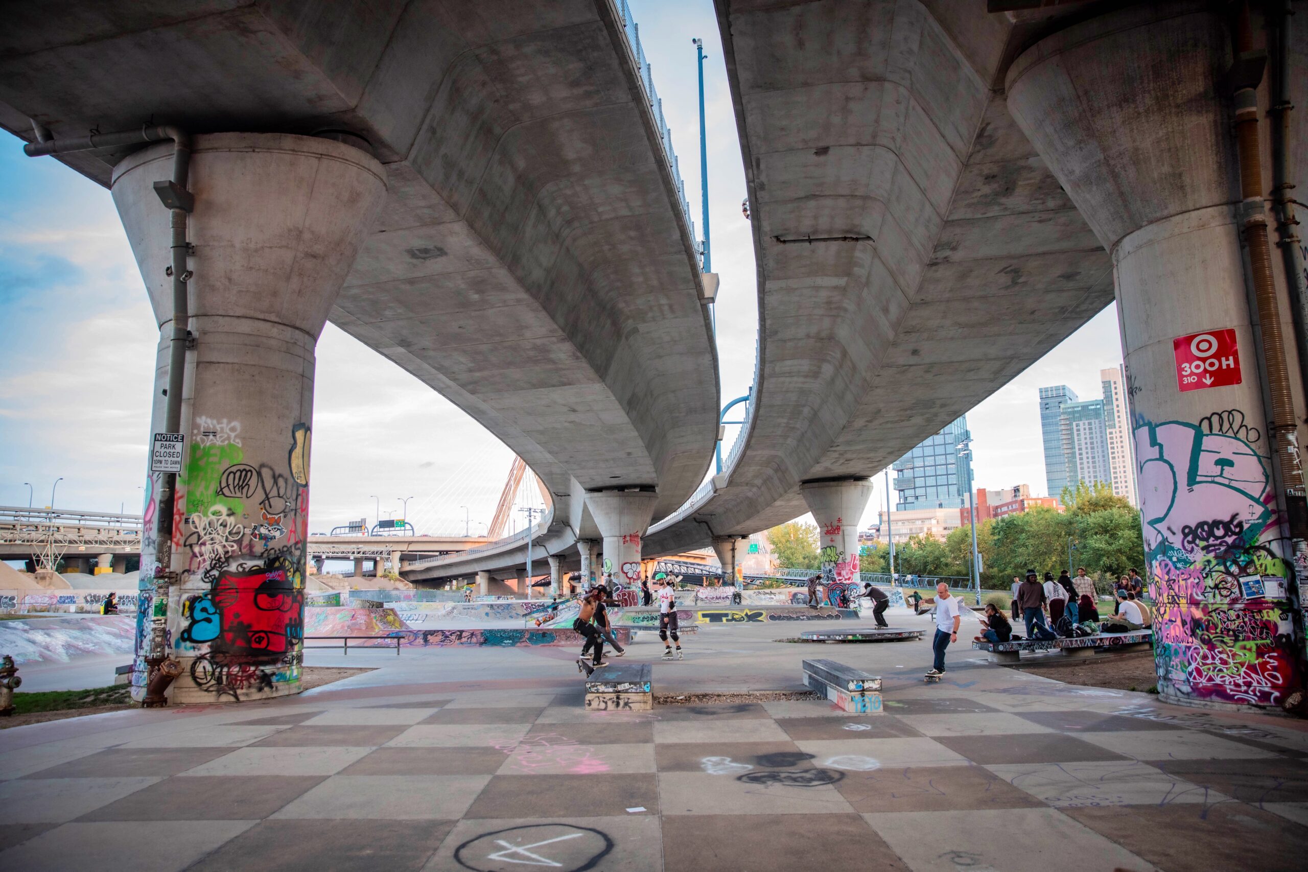
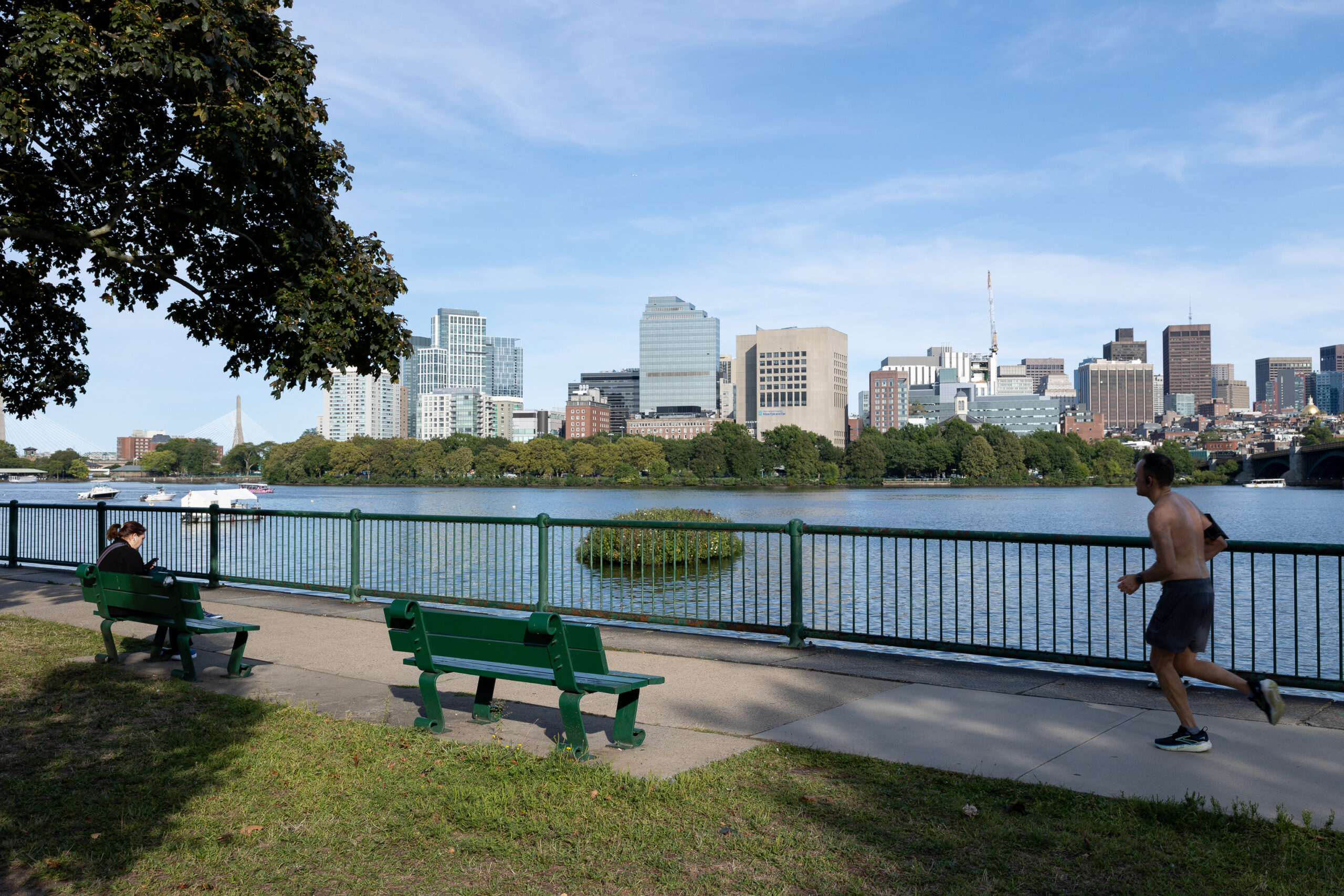
Richard McKinnon Park (formerly North Point Park, rededicated 2025) is part of the New Charles River Basin, the “lost half-mile” between the old Charles River Dam (now the site of the Museum of Science) and the Charlestown Bridge. The 8.5-acre park includes a broad pedestrian path and a bikeway, a large playground, a water feature, and an open field for playing sports or picnicking. Uniquely, a shallow waterway, perfect for exploring via kayak, creates two islands within the park. Richard McKinnon Park is the third park to be completed as part of the Big Dig mitigation efforts, which also included the restoration and expansion of Paul Revere Park in Charlestown and the construction of Nashua Street Park in Cambridge and Boston. The Lynch Family Skatepark is located in close proximity to Richard McKinnon Park, and our proposed Swim Park would also be located off the park’s main lawn.
Directions to Richard McKinnon Park


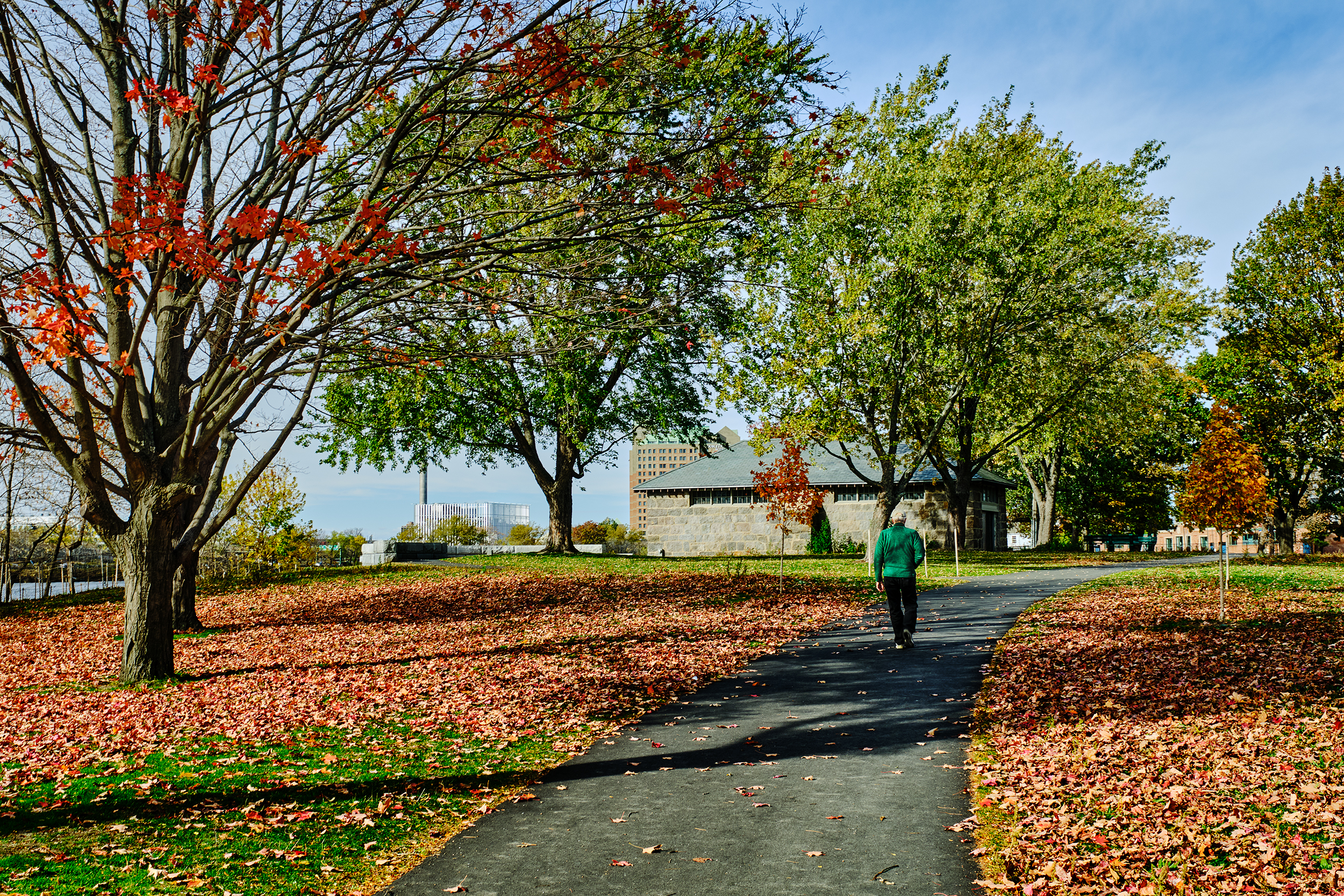
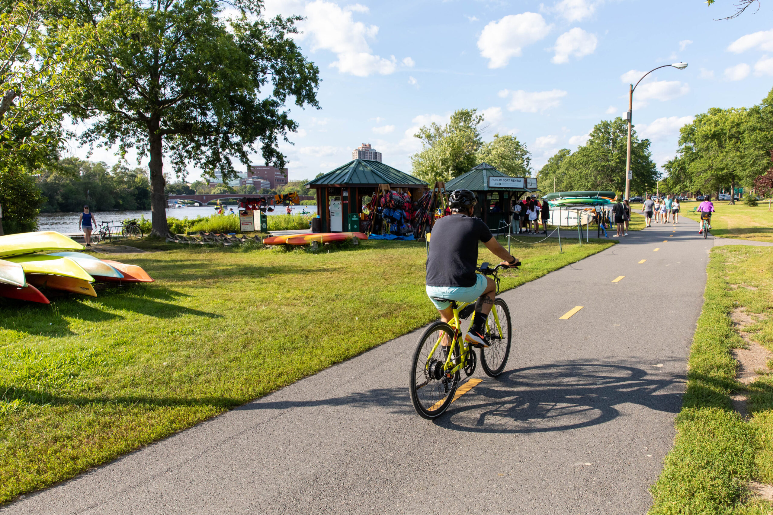
MAGAZINE BEACH
Magazine Beach is a 15-acre park in Cambridge, featuring an historic granite “Powder House,” which was built in 1818 as a state gunpowder magazine. The building was redeveloped in 1899 by Olmsted & Eliot, as a bathhouse to accommodate a lively swimming scene at Magazine Beach. As a result of industrialization, poor water quality and contaminated sediments resulted in the closure of the public beach in 1955. Today, the park features a large treated swimming pool, playing fields, picnic areas, pathways, and large swaths of open space to accommodate crowds for events such as the Head of the Charles Regatta, held annually in October. To learn more about work being done at Magazine Beach, visit the Magazine Beach Partner’s blog. The Conservancy regularly hosts volunteer events at Magazine Beach.
Construction supporting the DCR Magazine Beach Improvements project, in partnership with the City of Cambridge and the Magazine Beach Partners, began in 2025 and is estimated to be completed by September 2026.
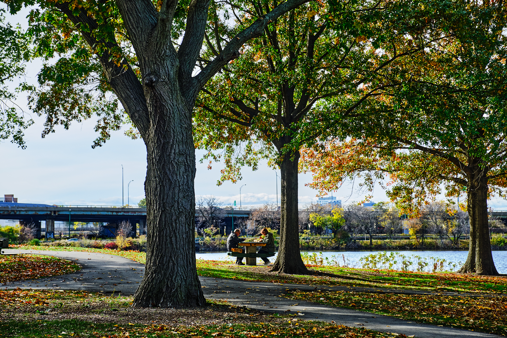
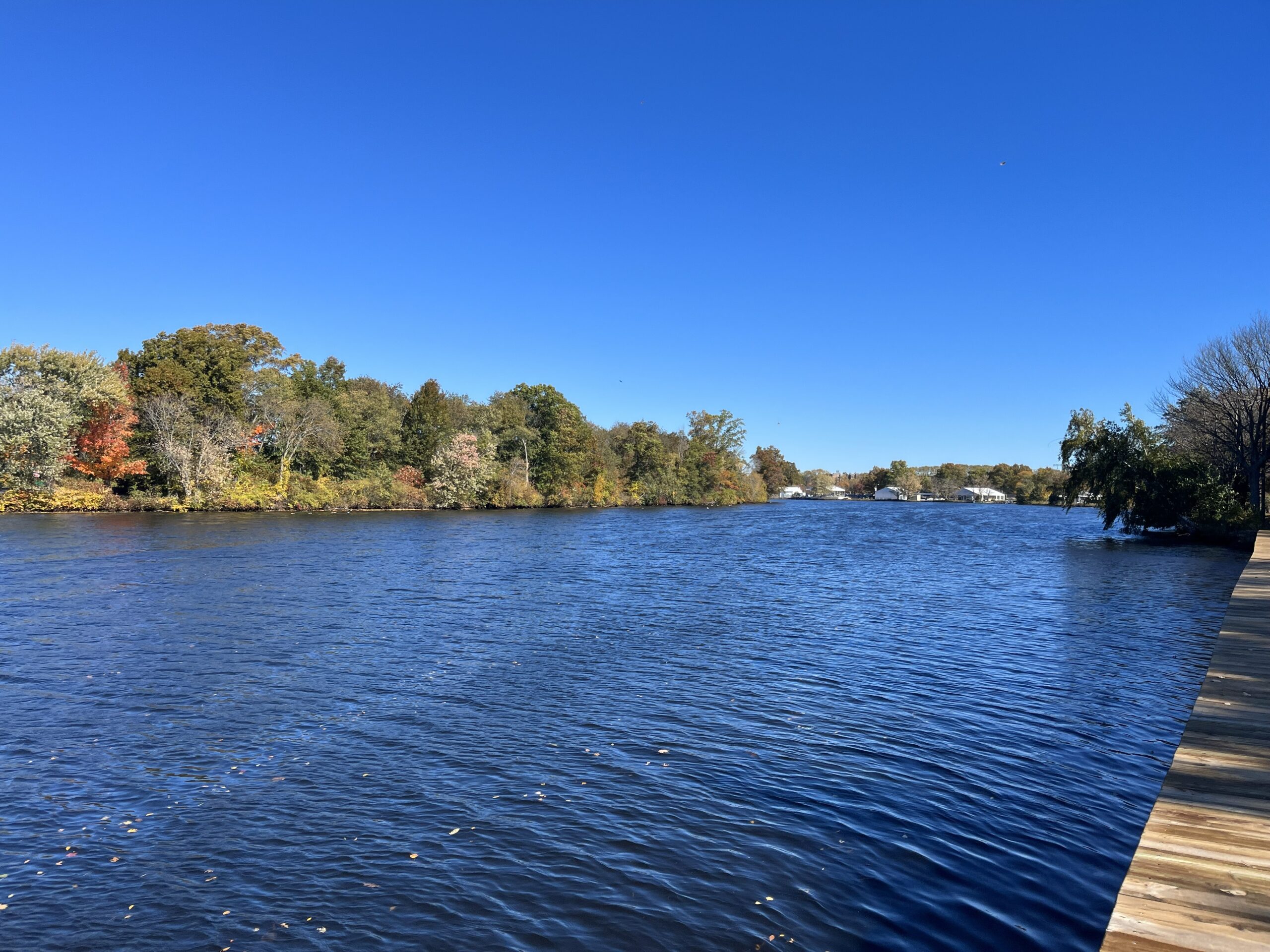
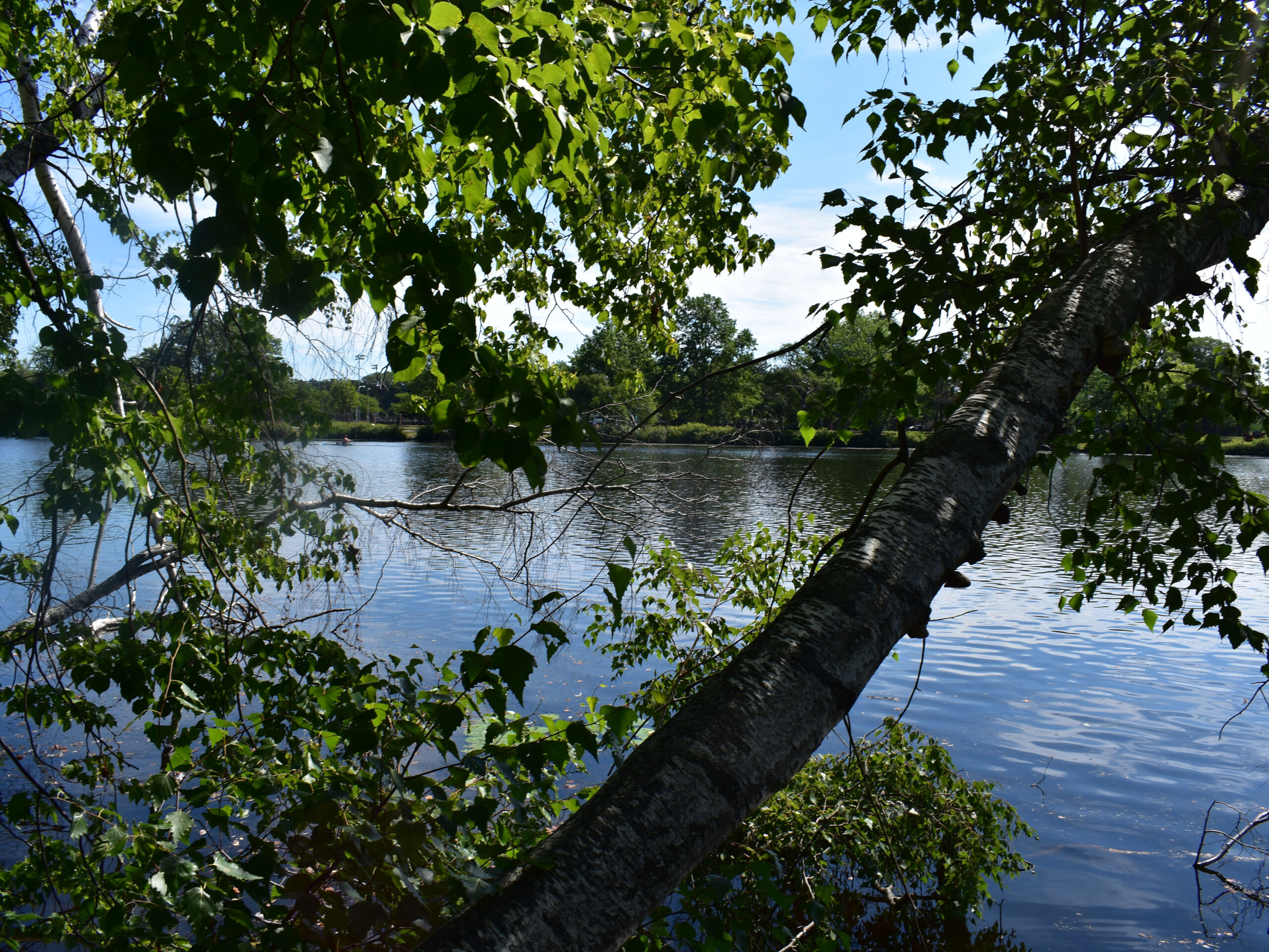
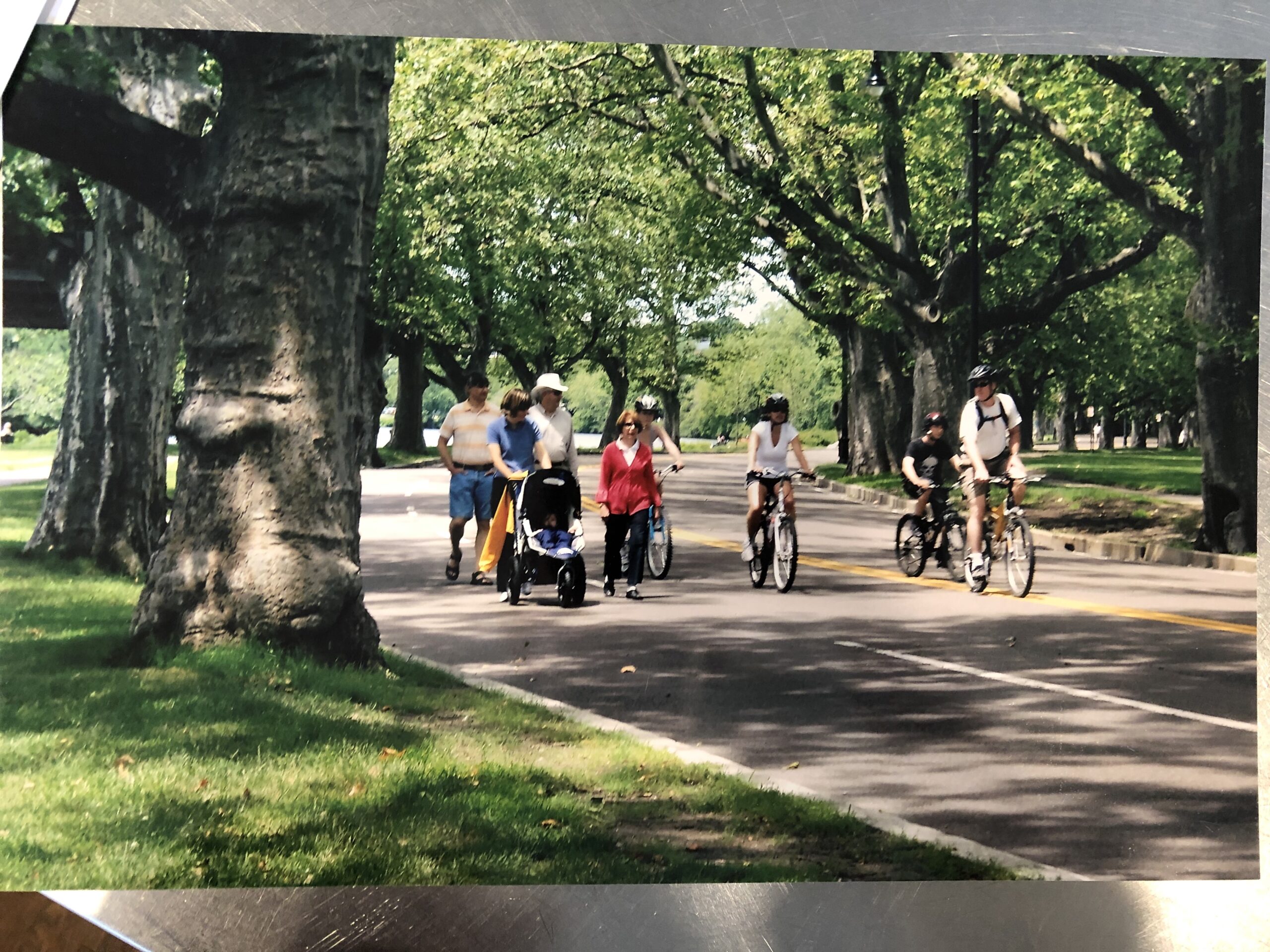
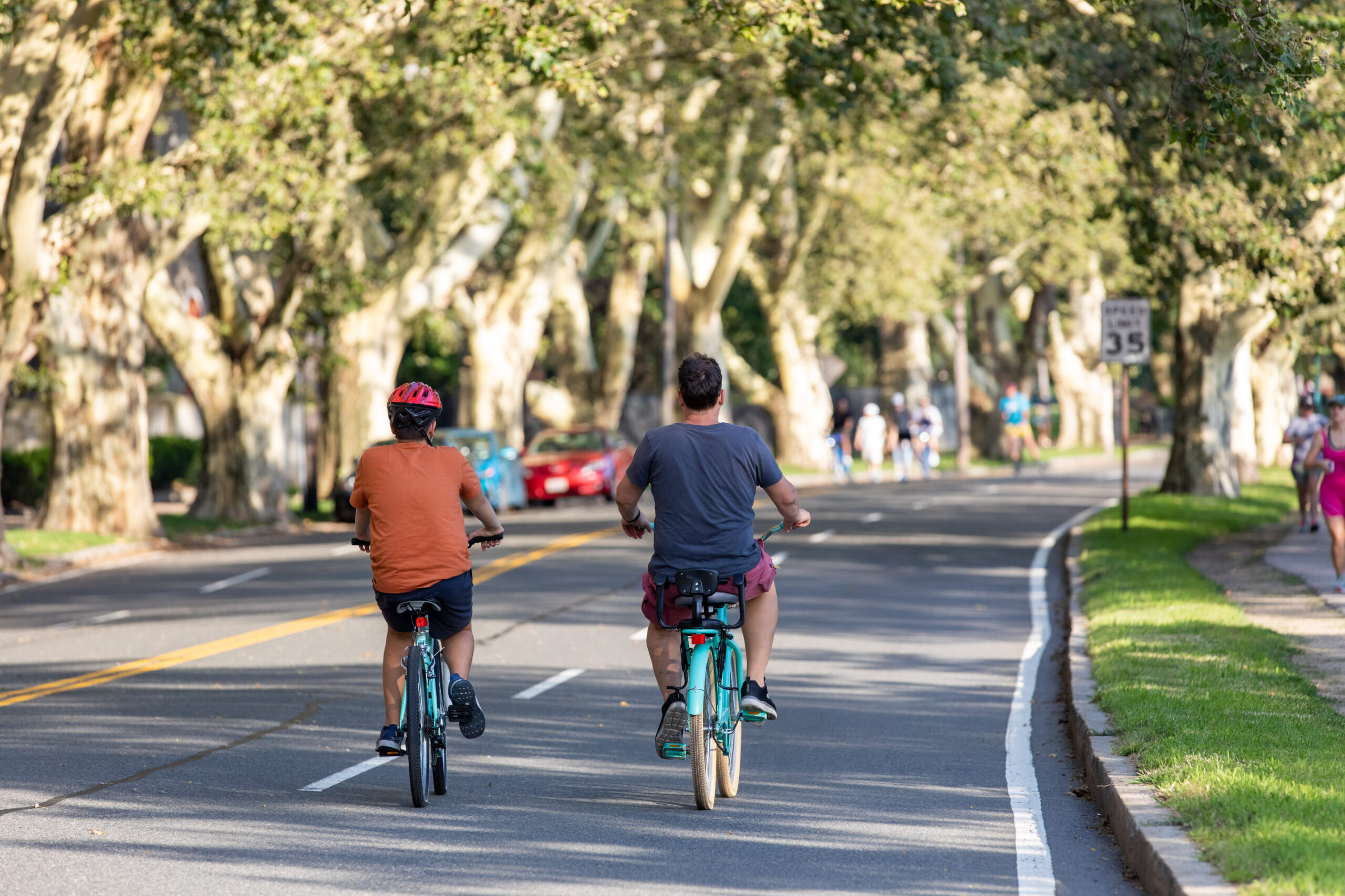
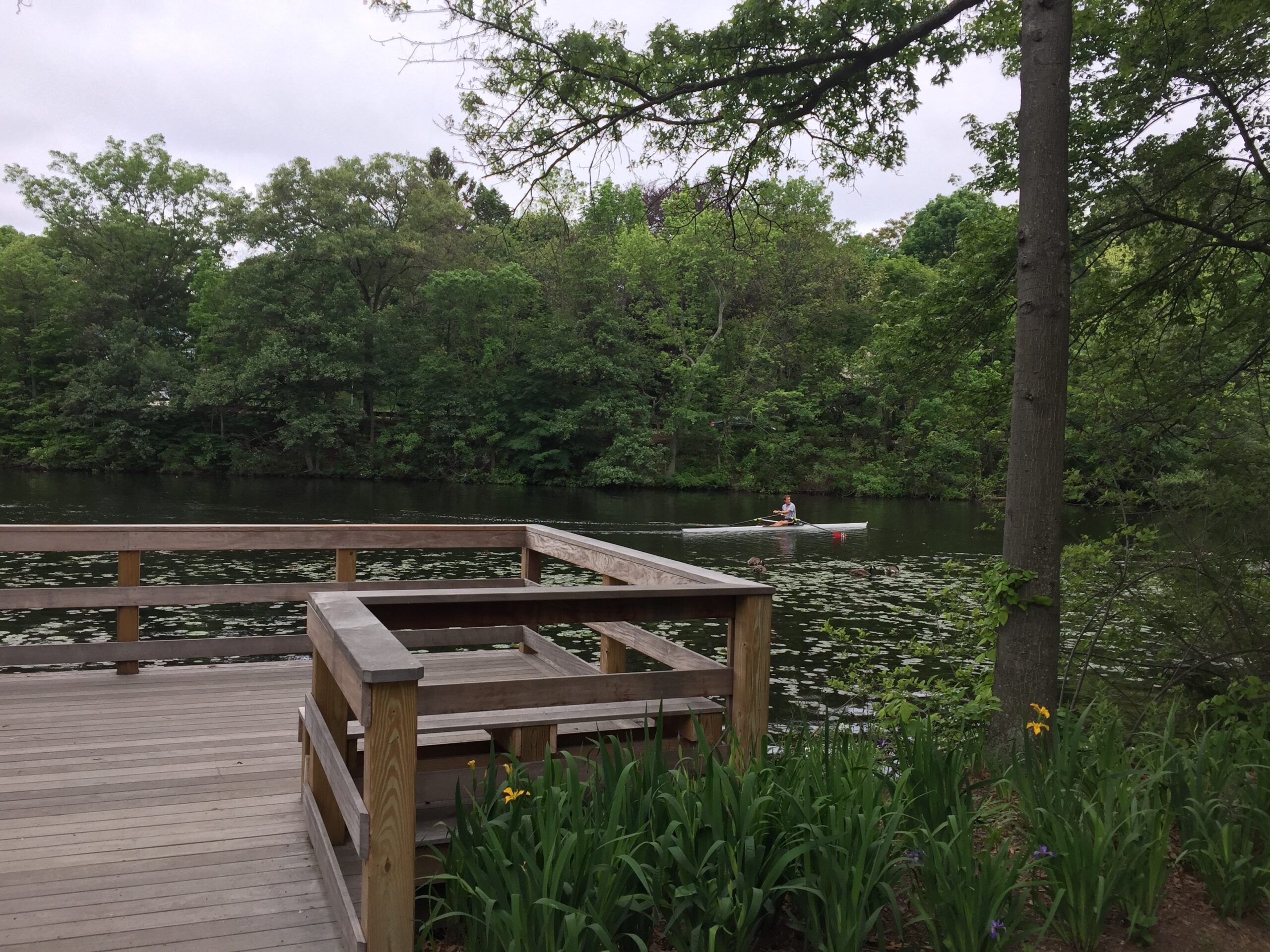
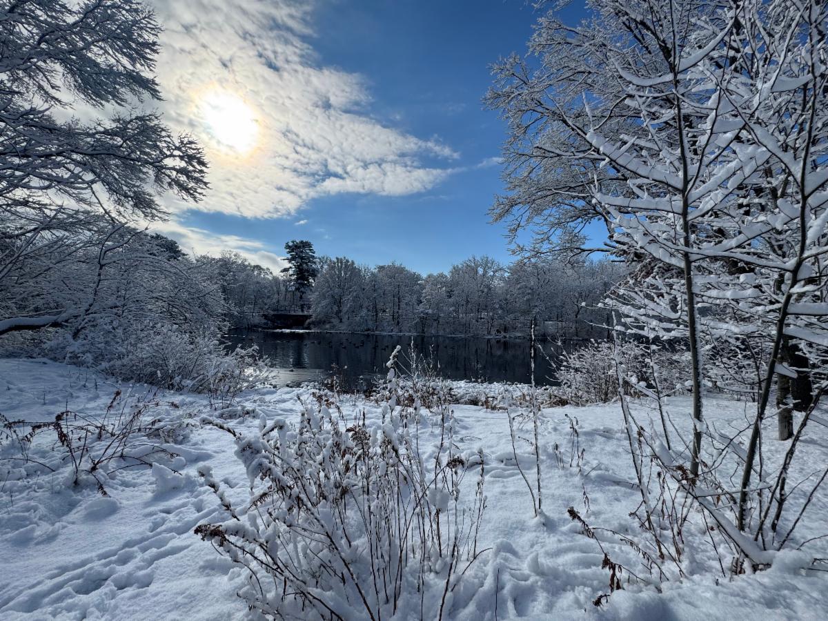
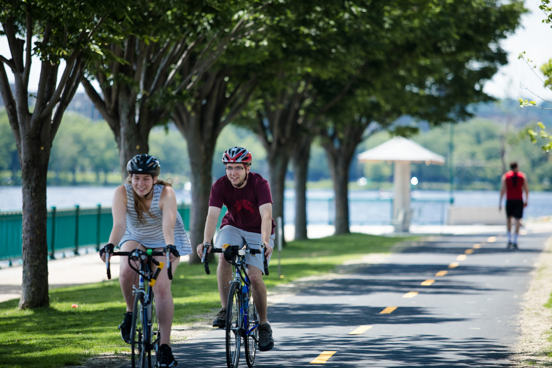
RIVERBEND PARK
Riverbend Park is adjacent to Memorial Drive and extends from the Eliot Bridge JFK Street (more info on the temporary closure below) to Western Avenue. From the last Sunday of April through the second Sunday of November, Memorial Drive is closed to vehicular traffic from 11am to 7pm, creating a large stretch of open space alongside the parklands to accommodate cycling, skating, running, and a range of other activities. More information is available at the City of Cambridge and DCR websites.

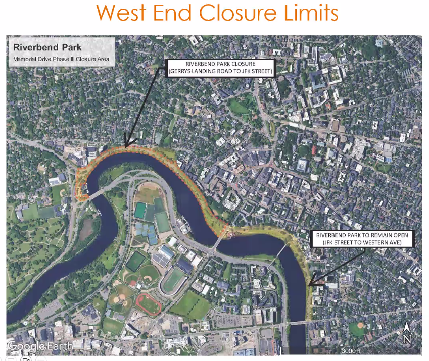
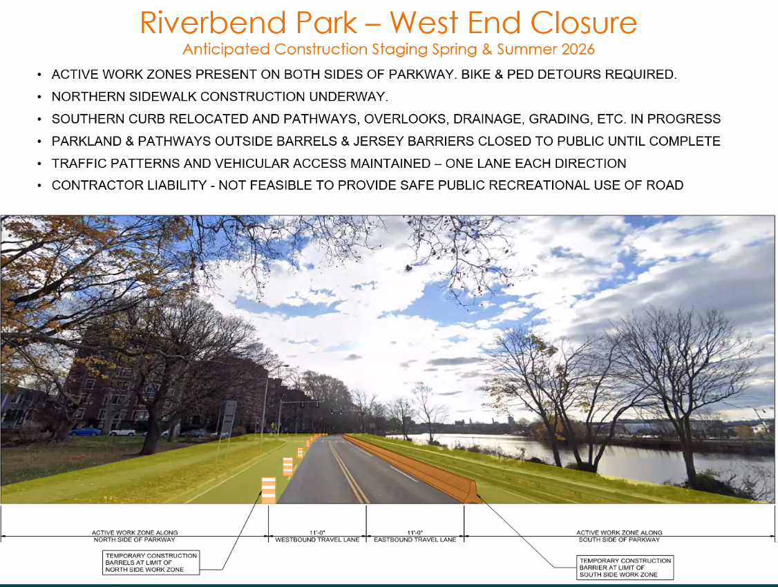
WEST END CLOSURE: Due to ongoing construction associated with the Memorial Drive Greenway Improvements, Phase III project, Riverbend Park will be temporarily modified throughout the 2026 season. Memorial Drive is closed to vehicular traffic from 11am to 7pm, from JFK Street to Western Ave ONLY. The seasonal dates and times of Riverbend Park remain consistent. Due to safety and logistical considerations applicable to active work zones, Riverbend Park will not be operating from Gerry’s Landing Road to JFK Street in 2026; traffic patterns (and cars) will continue on this narrow stretch. (Click images to enlarge detail.)
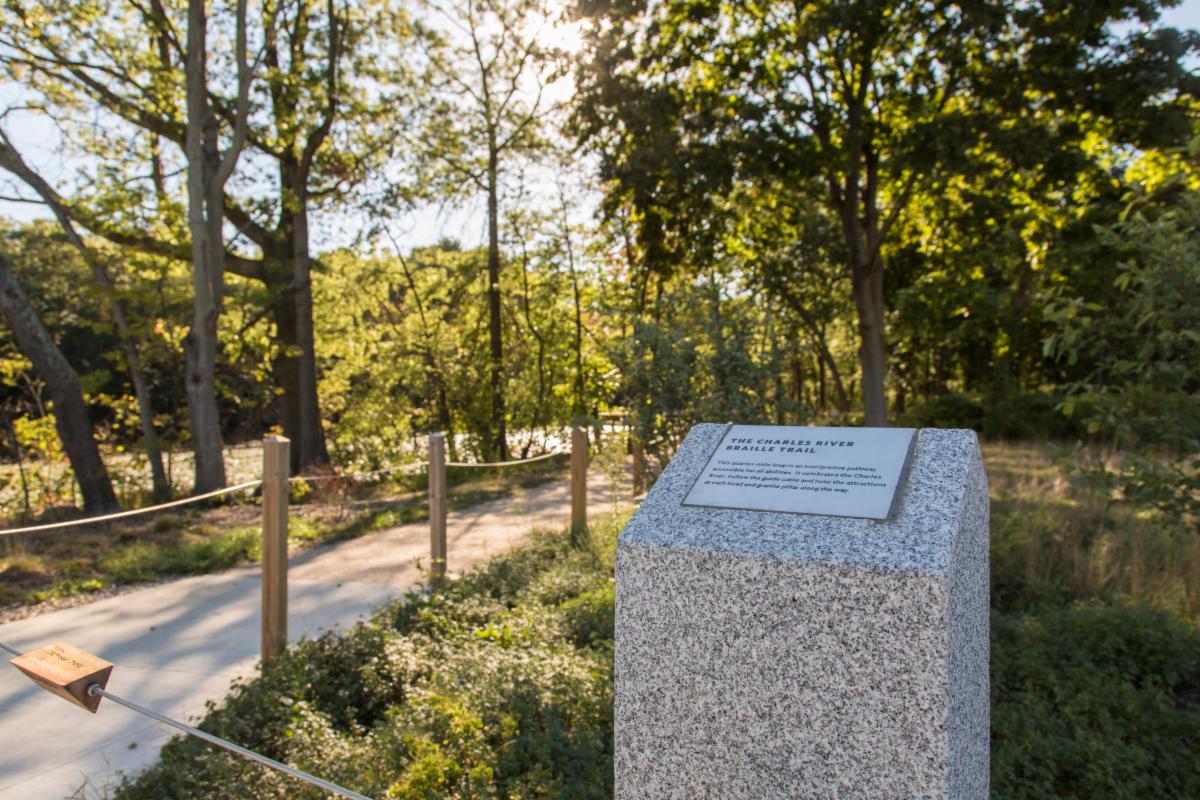
Watertown Riverfront Park and Braille Trail
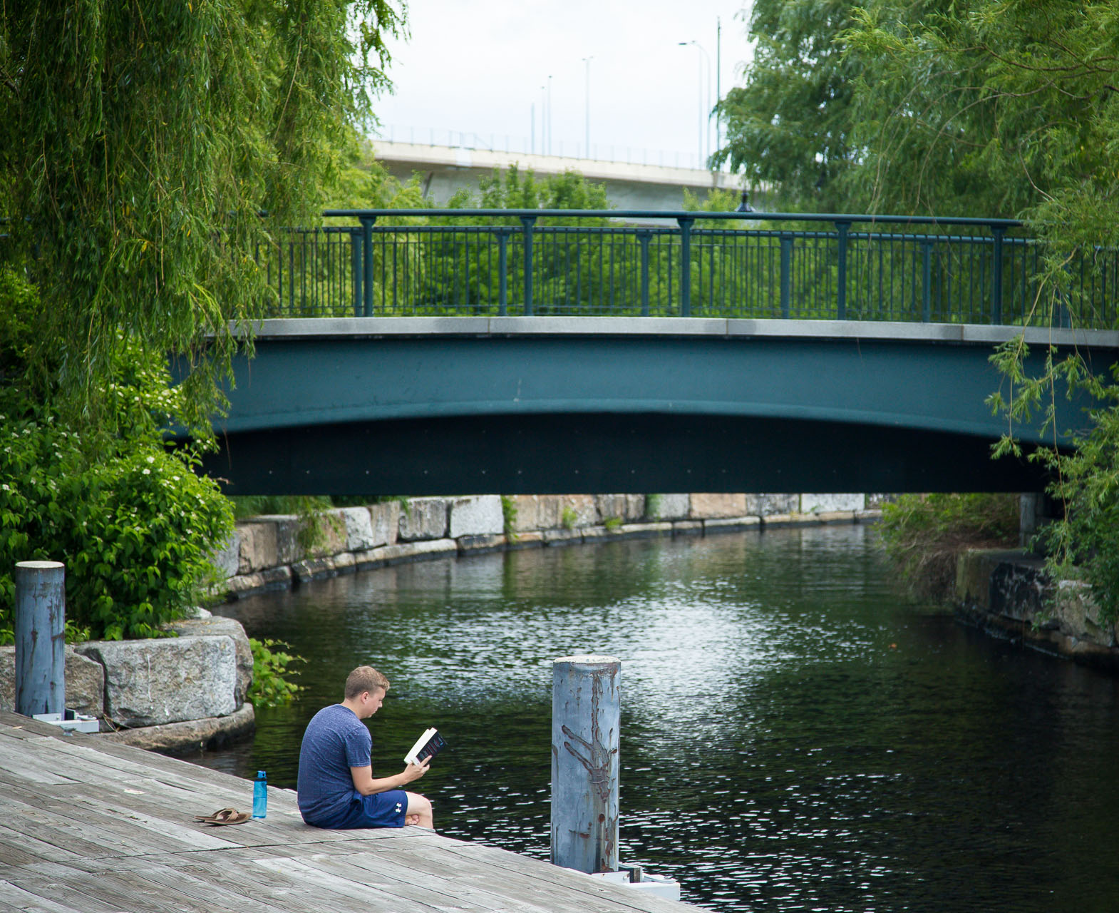
Watertown Riverfront Park is nestled along Charles River Road in Watertown, between Perkins School for the Blind and the Galen Street Bridge. This mile-long stretch includes walking and biking paths, gorgeous river outlooks and open green space, plus a playground with a basketball court. On the western (upstream) end of the park is the “Braille Trail”, a unique and amazing quarter-mile walking loop designed to be enjoyed by blind and low-sighted individuals. Guiding wires help users stay on the trail, and differently shaped beads indicate park features, many of which have interpretive signs that can be read in braille. The center of the trail includes a sensory garden with fragrant plants, interesting textures, and other tactile or sonic elements including boat- and marimba-shaped benches and a braille engraving of poetry. The Braille Trail, and the broader Watertown Riverfront Park, are the culmination of sustained advocacy and partnerships between DCR, the Solomon Foundation, Sasaki, Perkins School for the Blind, and local community advocates.
Directions to Watertown Riverfront Park and Braille Trail
PATHWAYS
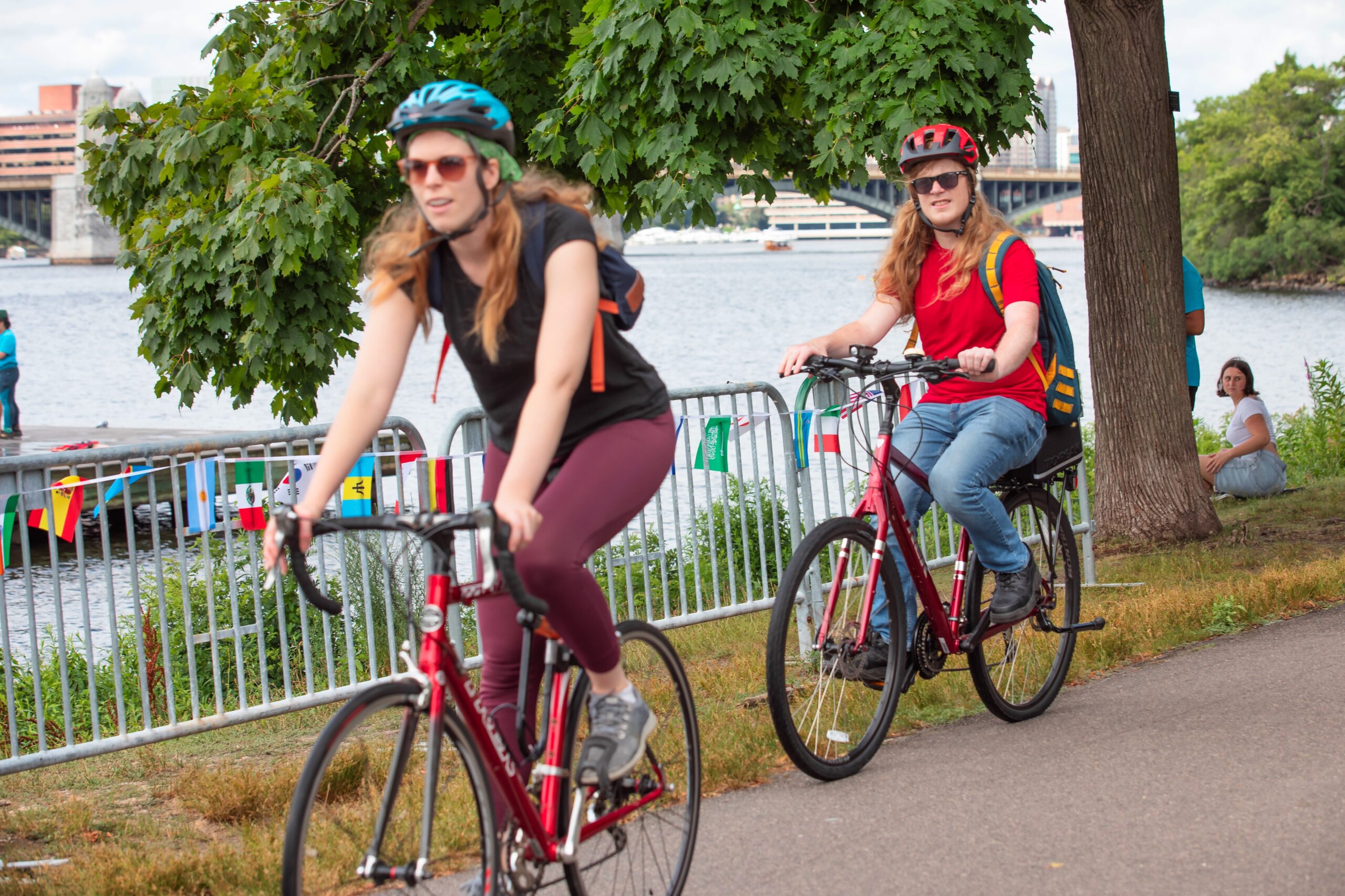
Dr. Paul Dudley White Bike Path is an 18-mile loop along the Charles, from Science Park in Cambridge to Watertown Square. The bike and pedestrian pathway was named after the renowned cardiologist, who was a staunch advocate of exercise, diet, and weight control in the prevention of heart disease. In 1924, Dr. White co-founded the American Heart Association and became the organization’s president in 1941.
Explore this Path and Others on
Trailmap: Metro Boston’s Regional Walking and Cycling Map
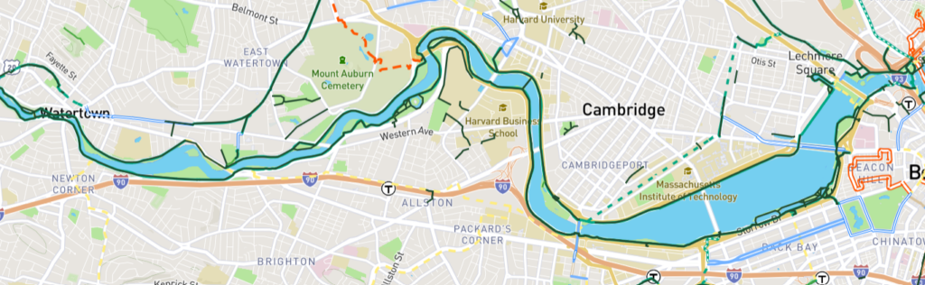
Pro Tip: Select “Show LandLine greenway layer” in the Control Panel to view details of the Regional Greenway Network
Explore DCR’s website for more information, including park amenities, year-round programming, and how to apply for a special event permit.